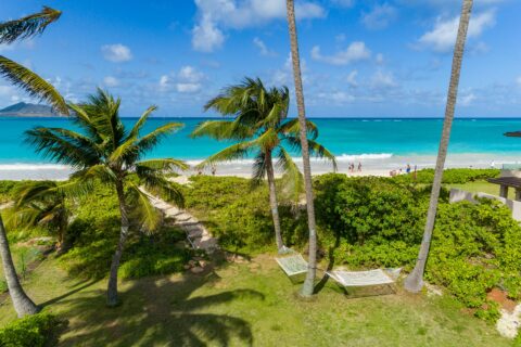
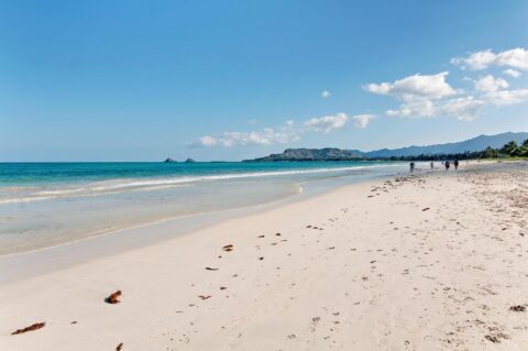
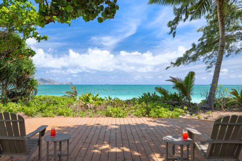
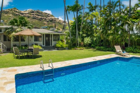
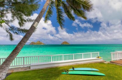
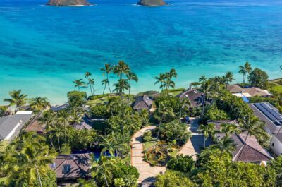
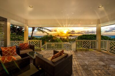
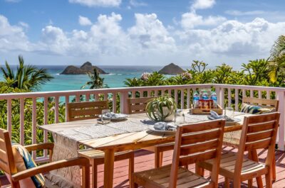
Lanikai history and Kaʻōhao history reach far beyond the residential community and famous beach visitors see today. The neighborhood sits on the windward coast of Oʻahu in Kailua. Long before maps and real-estate advertisements used the name Lanikai, Hawaiians knew much of this area as Kaʻōhao. The Lanikai Monument at Alāla Point later became a landmark of early Lanikai development. Today, visitors know Lanikai for its turquoise water and white-sand shoreline. They also recognize the Mokulua Islands offshore. However, the modern residential community took shape only about a century ago.
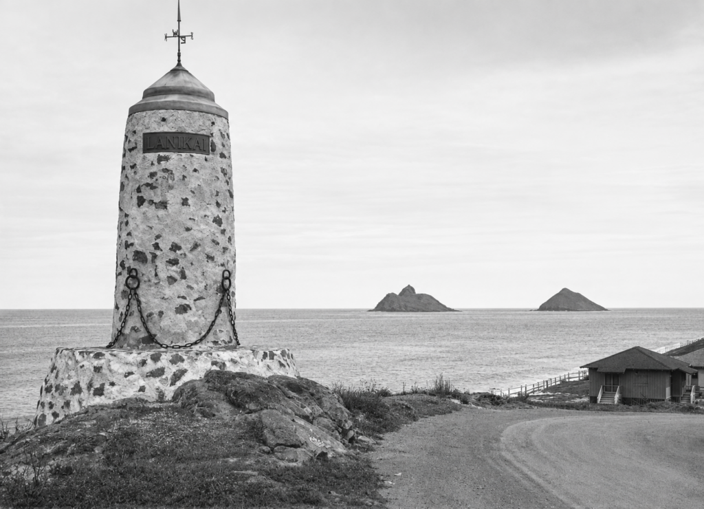
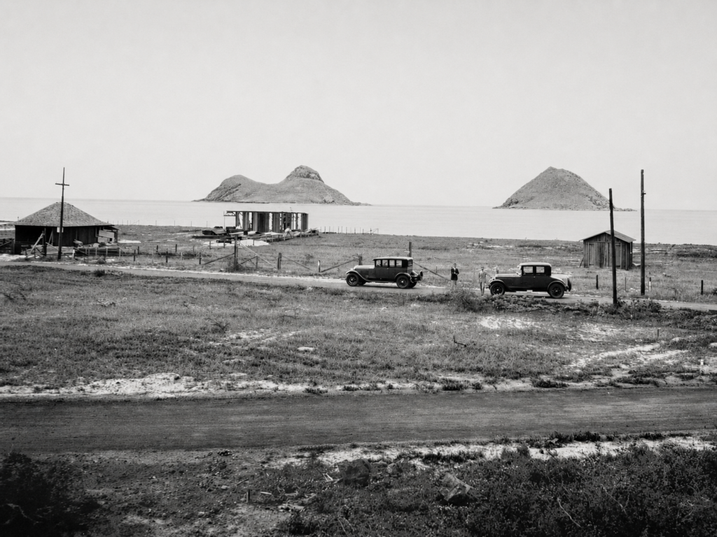
A 1925 View of the Lanikai Monument at Alāla Point
Lanikai History: From Kaʻōhao to Early Lanikai Development
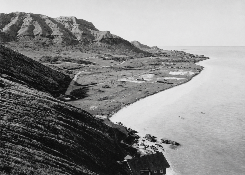
The March 30, 1925 photograph shows the Lanikai Monument at Alāla Point soon after residential development began in Kaʻōhao. At that time, developer Charles R. Frazier commissioned the monument as an entrance marker for the new subdivision, and architect Hart Wood designed it. In addition, the image records the monument’s lighthouse-inspired form, heavy chains, early roadway, sparse coastal development, and the Mokulua Islands offshore.
By contrast, Wood designed the monument as a gateway rather than a navigational light. Its stonework, metal “LANIKAI” plaque, pointed cap, and nautical details gave the new community a distinctive entrance.
Today, the monument remains an important link to early Lanikai development and to Wood’s broader influence on Hawaiʻi architecture.
The Lanikai Monument: A Hart Wood Landmark
Hart Wood’s design for the Lanikai Monument connected the new 1920s subdivision with a distinctive architectural landmark. More broadly, his work in Hawaiʻi helped shape a regional architectural approach responsive to local climate, materials, and place.
As a result, the monument remains one of the clearest surviving links between early Lanikai development, Alāla Point, and the community’s architectural history.
Watermelons, Turkey Farms & Windmills
Lanikai History: When the One-Way Loop Began
The Original Name: Kaʻōhao
Hawaiians traditionally used the name Kaʻōhao for much of the area now called Lanikai. In fact, Hawaiian sources translate the name as “the tying” or “to tie together.” Hawaiian moʻolelo links the name to a kōnane game and to two women in the story.
In addition, historical research shows that today’s Lanikai neighborhood includes more than one traditional place. Kaʻōhao extended from Alāla Point toward Kaʻiwa Ridge. Farther toward Wailea Point, the name Mokulua connected the area with Nā Mokulua offshore.
For visitors, understanding Kaʻōhao adds an important layer to Lanikai history. Therefore, it helps show that this Hawaiian landscape carried names and cultural meaning long before subdivision development.
How Lanikai Got Its Name
The name Lanikai is comparatively recent. In 1924, developer Charles R. Frazier and associates acquired roughly 300 acres and began creating a residential subdivision. They marketed the new community as Lanikai to suggest a “heavenly sea” or “sea of heaven.”
Hawaiian-language sources note an important distinction: Lanikai does not follow traditional Hawaiian word order for that phrase. The older place name Kaʻōhao predates the subdivision by generations.
Over time, residents and visitors adopted the name Lanikai widely. Today it identifies both the neighborhood and its famous beach.
Early Lanikai Development and the Residential Community
Nā Mokulua: Lanikai’s Offshore Landmarks
Two offshore islands help define the Lanikai shoreline. Specifically, people commonly call them the Mokulua Islands, or “the Mokes.” Mokulua Nui is the larger northern island, while Mokulua Iki is the smaller southern island.
Together, the islands form part of the Mokulua Islets Seabird Sanctuary. As a result, wildlife protections limit access to sensitive nesting areas and coastal ecosystems. The islands also provide important nesting habitat for wedge-tailed shearwaters and other seabirds.
For generations, Nā Mokulua have served as defining landmarks of the Lanikai shoreline. Today, they remain central to the community’s visual identity.
Lanikai Today
Modern Lanikai remains a distinctive residential community within Kailua. The Pacific Ocean borders one side, while ridges rise above the neighborhood on the other.
Several layers of history shape its identity. They include the traditional Hawaiian places of Kaʻōhao and Mokulua, early agriculture, the 1920s subdivision, classic beach houses, and the postwar shift toward year-round residency.
Today, visitors often notice the beach and Nā Mokulua first. However, understanding Lanikai history reveals the names, stories, and cultural meaning that came long before the modern neighborhood.
Frequently Asked Questions About Lanikai History
What was Lanikai originally called?
Much of the area carried the traditional Hawaiian name Kaʻōhao. Hawaiian sources often translate it as “the tying” or “to tie together.”
When was Lanikai developed?
Major residential subdivision development began around 1924.
Does Lanikai mean “heavenly sea”?
Developers intended that meaning, but Hawaiian-language sources note that Lanikai does not follow traditional Hawaiian word order for the phrase.
Is Lanikai part of Kailua?
Yes. Lanikai is a residential neighborhood within greater Kailua on Oʻahu’s windward side.
What are the two islands off Lanikai Beach?
They are Mokulua Nui and Mokulua Iki, collectively called Nā Mokulua.